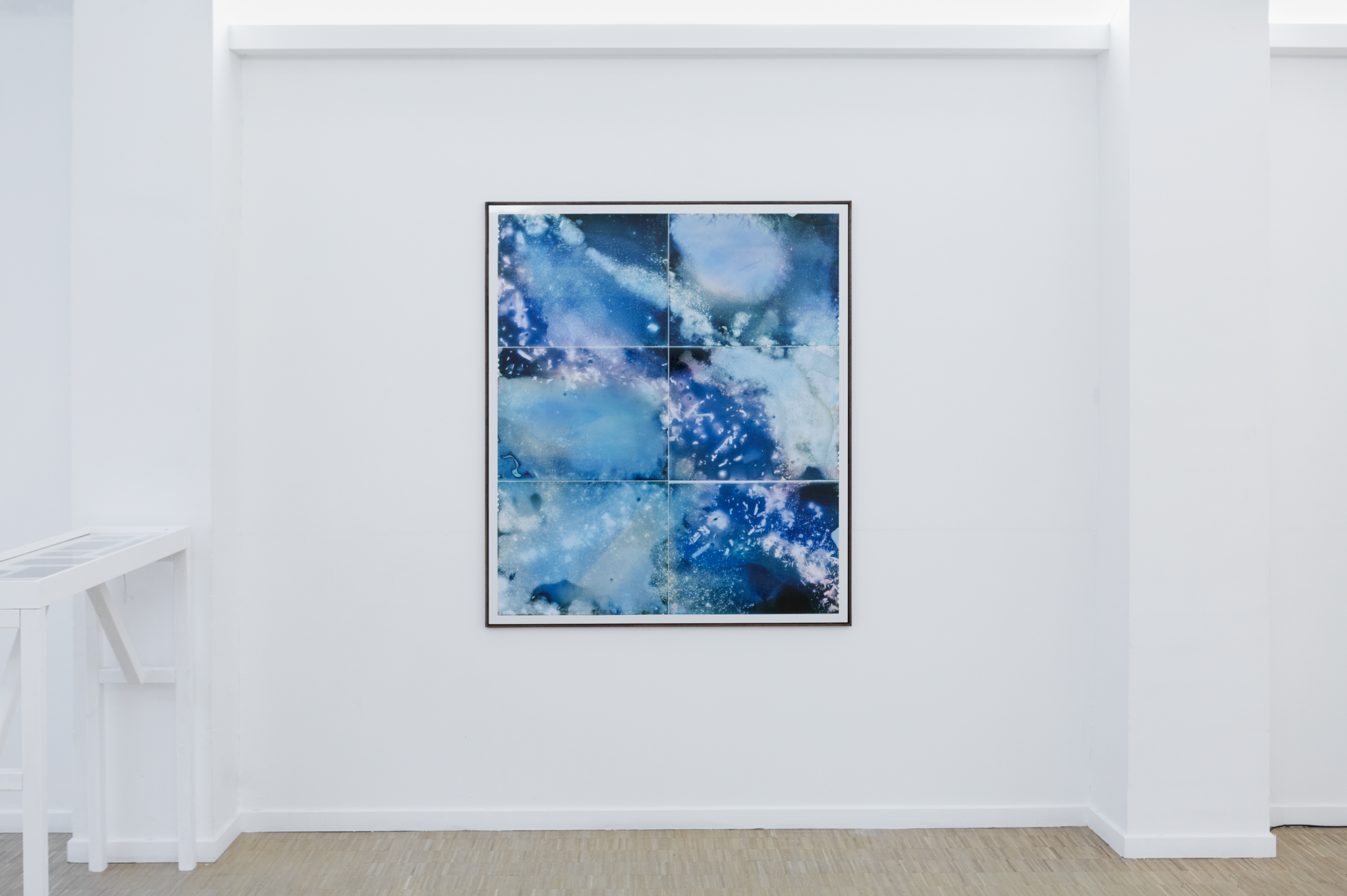
SOIL MAPS are a continuation of the photographic technique of the mudgram. They don’t focus on individual soil samples to generate an image but use soil according to where it was foraged on a map to recreate this map. Not by looking at geology, botany or infrastructure but by using the soil to generate the map by its own.
Matière Critique, ISELP, 2024, curated by Marie Papazoglou

SOIL MAP (Clayfields, Terhagen), Dries Segers, 2024, 162x120 cm, Mudgram, Silverprint on dibond, costum made frame
SOIL MAP (Industry, Port of Antwerp), Dries Segers, 2024, 120x141cm, Mudgram, Silverprint on dibond, framed